Introduction
The ICEYE ArcGIS integration makes ICEYE data available directly in ArcGIS Online - no manual downloading, processing, or uploading required. When new data is published for your subscribed events, it's automatically pushed to your ArcGIS Online group.
Access & Setup
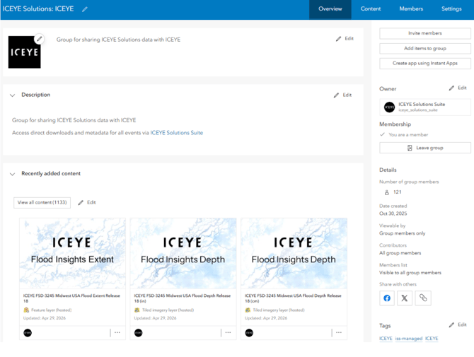
The ArcGIS integration is available as an add-on to core ICEYE Solutions Suite (ISS) access. The ArcGIS integration publishes ICEYE deliverables to ArcGIS Online, and securely shares your subscribed data via a dedicated ArcGIS Online Group.
To get set up with the ArcGIS integration, provide your ICEYE contact with the ArcGIS Online usernames you'd like added and whether you’d like data in metric or imperial units. Your ICEYE contact will invite your ArcGIS Online users to a dedicated group for your organization. If you'd like to manage group membership yourself going forward, we can designate one or more of your users as group managers.
Data
Data is shared with your ArcGIS Online group once it's been processed and is ready to view. Each release creates a new service, so as new releases roll out you'll find new items shared with your group so you can pull the data directly into your maps and applications.

The integration depends on Esri's infrastructure, which is outside ICEYE’s control. In cases of Esri downtime or a processing error on their end, your core ISS access (App and/or API) serves as the fallback. We recommend treating ArcGIS as a complementary delivery channel rather than a standalone one. In cases of failure, we'll do everything we can to remediate, but some issues may ultimately be on Esri's side to resolve.
Flood Insights
|
Flood Insights Layer |
Status |
Notes |
|---|---|---|
|
Flood Depth |
Available |
Available from October 2025 |
|
Flood Extent |
Available |
Available from May 2026 |
|
Release Notes |
Partially available |
Attribute information can be found within the Flood Extent features. Release note geometries are not available. |
|
Building Statistics |
Not available |
Flood Depth rasters and Flood Extent vectors are uploaded, styled, and shared as tiled image services and feature services, respectively. The majority of depth layers are typically available within 45 minutes of a release being published. If a release contains multiple depth rasters or extent vectors, they're combined into a single service per release.
Note: you may notice a slight visual offset between Flood Depth and Flood Extent layers for the same release. This is a known behavior in how ArcGIS Online renders tiled image services. ArcGIS Online will resample the raster to a slightly different grid system than the one ICEYE uses. The maximum magnitude of the offset is 50% the raster cell size - a couple meters at most in the case of Flood Depth.

Wildfire Solutions
|
Flood Insights Layer |
Status |
Notes |
|---|---|---|
|
Building Damage Assessment |
Available |
Available from June 2026 |
|
Area of Interest |
Available |
Available from June 2026 |
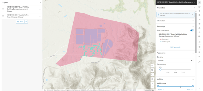
Building Damage Assessment and Area of Interest vectors are uploaded, styled, and shared as feature services. Each release generates two new feature services, one per deliverable type.