Making sense of our changing environment
ICEYE Deforestation is a SAR-based monitoring service that delivers deforestation detection polygons within customer-defined Areas of Interest (AOIs). The service operates on a scheduled cadence, producing a structured delivery package each observation cycle.
Because SAR imaging is unaffected by cloud cover — the most persistent barrier to optical monitoring in tropical regions — ICEYE provides consistent, predictable intelligence where other solutions routinely fail.
Product Description
ICEYE Deforestation is a SAR-based monitoring service that delivers deforestation detection polygons within customer-defined Areas of Interest (AOIs).
Each observation cycle produces a structured delivery package containing:
- Observed Area — where valid SAR coverage was obtained in this cycle
- Incremental Deforestation — net-new deforestation detected since the prior comparable state
- Accumulated Deforestation — total-to-date deforestation observed within the AOI
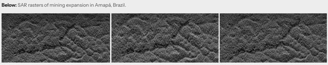
- Changelooks — SAR evidence rasters for visual validation of detections
The Observed Area layer is included in every delivery so customers can clearly distinguish between "no deforestation detected" and "area not yet observed." This distinction is critical for high-stakes reporting and enforcement contexts.
Evidence-backed detections dramatically reduce false alarm response costs while building credibility with judicial systems and international oversight bodies.